Annotations
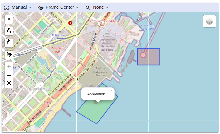
Annotations place points, lines, polygons, and multipolygons on the map. Use them to mark areas of interest, routes, targets, or operational boundaries. Create drawings in STServer or import GeoJSON from another tool.
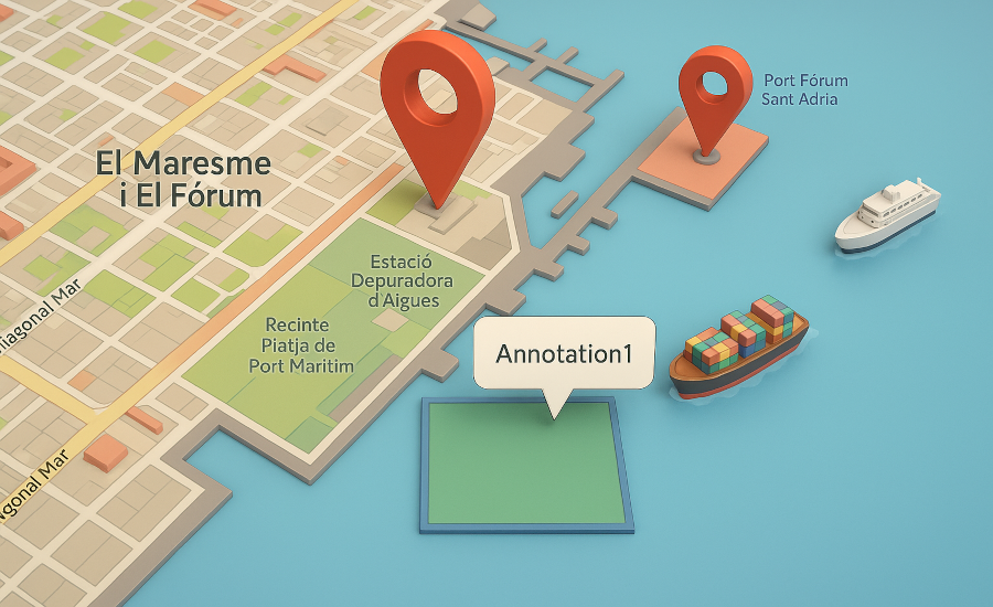
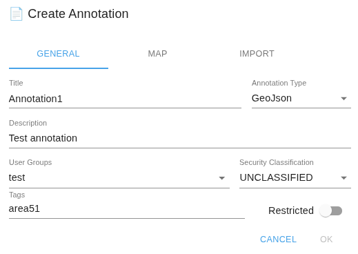
Each annotation can contain several geometries, along with a title, description, tags, user groups, and presentation settings.
Creating annotations
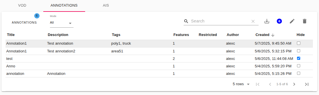
- Open the annotations table.
- Click Add annotation and enter a title, description, tags, and user groups.
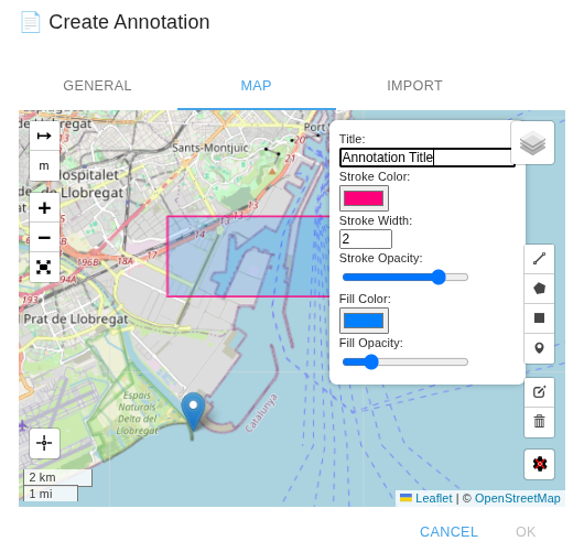
- Select the Map tab and draw the geometry.
- Set its color, opacity, and other presentation properties.
- Click Ok to save.
Use Sync Map Center in the bottom-left corner to move to the server's last map center. Select a geometry by clicking it before editing its properties.
Importing annotations
The dialog accepts one GeoJSON FeatureCollection, Feature, or geometry. Select a file created by a tool such as geojson.io.
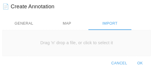
Use the table's import control for multiple annotations:
- A single GeoJSON object, usually a
.geojsonfile, creates one annotation. - A JSON array of GeoJSON objects, usually a
.jsonfile, creates several annotations.
Every item must be valid GeoJSON. The server uses the first feature's name when available. Invalid structures or array entries are rejected.
Editing and viewing annotations
Select an annotation in the table and click Edit Annotation. Full Screen mode provides more space for drawing.
The table has two viewing modes:
- All Annotations: list all annotations you can access.
- Filtered by Map Area: list annotations that intersect the visible map area.
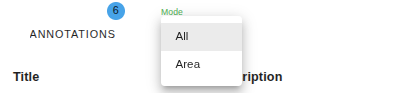
The map loads annotations that intersect its current view. Hover over a geometry to see its title, or click it to select the corresponding table entry.
Use Hide to hide an annotation for yourself. Hidden annotation IDs are stored in the browser and persist across sessions; this preference does not affect other users.
New and changed annotations refresh for users with access to them. Deleted annotations are removed from shared views and from saved lists of hidden annotations.
Exporting annotations
Click Export to export the annotations currently shown by the table's filters. One annotation is exported as a GeoJSON object (.geojson); several annotations are exported as a JSON array (.json).
Access and permissions
Administrators and super administrators can view all annotations. Other users see annotations assigned to groups they belong to or administer. An unrestricted flag does not make an annotation visible outside those groups.
Restricted controls modification rather than visibility. Administrators, the author, and a group administrator responsible for one of the annotation's groups can modify a restricted annotation. The interface limits changes to the Restricted flag to administrative roles.